Picture Perfect Spring Road Trips - Part 1
Spring is one of the most beautiful times of year around our area! What better excuse to see all the natural wonders around our affordable hotels in the Fort Leonard Wood area than to go on a road trip this Spring! As the leaves and flowers start to bloom, you'll love checking out these scenic road trips around Pulaski County!
Riverside/Redding Roads
6.38 miles north of Lexington Road, Highway 17
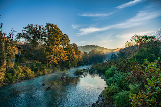
Riverside and Redding roads are a dynamic duo combining for 6.3 miles to connect Highway 17 with T Highway. Just over a mile into the trip you will see the Gasconade River on your left. At 2.04 miles is Schlicht Springs Access. This area is named for early mill operator and resort owner John Schlicht.
At 2.27 miles turn left to stay on Riverside Road. At 4.82 miles turn right onto Redding Road. At 5.10 miles you will see Bethlehem Baptist Church and Cemetery on your right. The rocked structure beckons photographers. This area was once called Flea Hollow, so named because the former church, which sat across the dirt road, was built up a bit on posts. Whether or not the design was intentional, this allowed nearby farmers’ livestock to congregate in the shade under the church. This led to hours-long bouts of itching and scratching for the parishioners during, and after, Sunday services. The cemetery tucked into the hillside below is the final resting place of Aunt Tenn, an inmate of the Pulaski County Poor Farm. Tenn’s final wish was to be buried here instead of at the cemetery across from the Poor Farm. At T Highway head north to Swedeborg.
Pro Tip: Plan on photographing Swedeborg School and abandoned buildings along the railroad tracks at Swedeborg. The community, first named Wood End, was later colonized by Swedish immigrants. Nearby Swede Cemetery, listed in a Swedish touring guide of America, has many interesting tombstones to photograph.
Rawlins Road
1.74 miles north of Redding Road, Highway T
Rawlins Road joins Swedeborg to Richland on what was most likely the “old” road before the development of Highway 133. The road crosses Snake Creek at 2.47 miles. At the intersection of Highway 133 turn left for a short distance.
Richfield Road/Dublin Lane
791 feet south of Rawlins Road, Highway 133
Richfield Road and Dublin Lane is a short (1.57 miles) continuation of what was most likely the Richland-Swedeborg Road at one time.
Pro Tip: Explore Richland to find fuel, food & beverage, antiquing, and restrooms before returning to Jefferson Street/Highway 7 South.
Snipe/Rio Roads
5.92 miles south of Dublin Lane, Highway 7
Snipe/Rio Road follows the Gasconade River for a short distance before breaking away into rich farmland and pastures. Several concrete silos dot the landscape awaiting the photographer to capture their bygone craftsmanship and usefulness. At 2.77 miles Berean Cemetery, and the former Berean Baptist Church sit on the right. The road crosses over Interstate 44 and continues to Historic Route 66/Highway AB.
Travel East to Waynesville via Historic Route 66/Highway AB/Highway 17 or via Interstate 44.
Pro Tip: Plan to spend time discovering Waynesville’s food scene, shopping, antiquing, and historic sites before taking the last backroad of your journey.


.jpg)


.jpg)

Comments
Post a Comment